
Here’s what we’ve learned through trial and error: yes, you can navigate without technology—but it’s messier than you’d think. We’ve relied on shadow compasses, terrain recognition, and the sun’s position to find our way out of some tight spots. However, there’s a critical difference between *can* and *should*, and that distinction might just save your life. So what actually separates a successful off-trail adventure from a frustrating—or dangerous—scramble? Let’s talk strategy.
Key Takeaways
- Yes, you can navigate using natural landmarks, terrain features, and visual observation to build mental maps.
- Sun and shadow compass techniques provide reliable directional bearings without requiring electronic devices or tools.
- Natural indicators like moss growth, ginseng placement, and creek bends serve as effective orientation guides.
- Maps and compasses offer essential backup navigation when visibility is limited or conditions worsen unexpectedly.
- Regular practice with traditional navigation methods builds confidence and transforms off-trail hiking into manageable exploration.
When you’re deep in the woods without a GPS signal—and trust me, it happens more often than you’d think—your eyes and observations become your most reliable tools.
We’ve learned that natural navigation techniques aren’t mystical; they’re practical skills anyone can master.
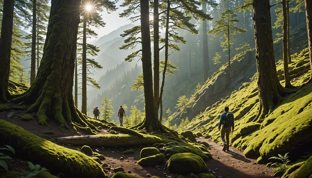
Visual landmarks—that distinctive boulder, the creek bend, the rocky ridge—help us build mental maps without technology. We scan for moss growth on tree trunks, which typically indicates north-facing sides. It’s not foolproof, but it’s genuinely useful when combined with other clues.
Our observational skills sharpen when we track terrain features: elevation changes, water bodies, slope directions. We notice how ginseng prefers north-facing slopes—nature’s subtle compass.
Just as external pockets and attachment points enhance accessibility in outdoor gear, clear visual markers and organizational cues in nature help us navigate efficiently and locate key landmarks during our journey.
Understanding Your Surroundings and Terrain Features
Now that we’ve honed our observation skills, let’s zoom out and see the bigger picture—because those individual clues we’ve gathered actually fit together like puzzle pieces to form a complete landscape.
Understanding your surroundings means recognizing terrain features as your personal guideposts. Those steep slopes, ridges, and valleys aren’t just obstacles; they’re directional anchors that keep you oriented when maneuvering without traditional tools.
Mental note every distinctive landmark—that gnarled oak, that boulder formation—and you’ve created your own navigation system. Natural landmarks become breadcrumbs leading you forward and backward.
We’ve found that familiarizing yourself with local geography transforms confusion into confidence. Steep terrain especially helps maintain direction in unfamiliar areas.
As you navigate these landscapes, proper gear like waterproof gaiters will keep your feet dry in muddy terrain, allowing you to focus fully on reading the natural landmarks around you rather than being distracted by wet boots and discomfort.
You’re not wandering blindly; you’re reading the land’s language fluently.
Using the Sun and Shadow Compass for Direction
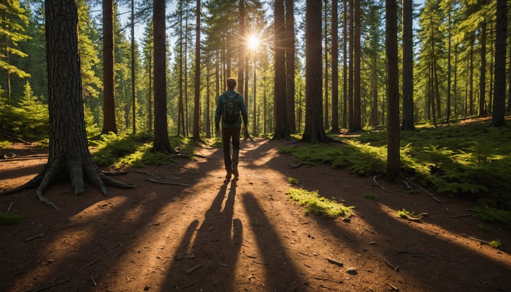
Two of the most reliable navigation tools you’ll ever carry are already with you: the sun and a stick.
We’ve all felt that panic when trails vanish—but using the sun won’t fail you. In the northern hemisphere, the sun sits south at midday, offering instant bearings.
The shadow compass technique proves especially valuable: plant a stick, mark its shadow’s tip, wait 15 minutes, then mark again. That line? Pure east-west orientation—your liberation from GPS dependence.
Your analog watch works too. Point the hour hand toward the sun; the midpoint between it and 12 o’clock indicates south.
These methods aren’t just backup plans—they’re freedom itself. While topo maps and GPS watches provide detailed terrain information for complex navigation, traditional sun-based orientation has guided travelers for centuries without any technology. Practice them now, and you’ll confidently find your way back anywhere, armed with nothing but observation and patience.
The Role of Maps and Compass as Backup Tools
Although the sun and shadow compass will get you oriented, they’ve got limits—clouds roll in, visibility drops, and suddenly you’re squinting at shadows that won’t cooperate.
That’s where maps and compass become your true backup navigation tools. We’ve learned this the hard way: when visibility is limited and technology fails, a physical map and compass keep you grounded—literally and figuratively. They don’t need batteries or signal.
A quality compass lets you identify magnetic north reliably, while a topographic map reveals terrain details no screen can match. Together, they’re insurance against panic.
We’ve navigated through fog-thick forests and remote canyons using these essentials, building confidence with each trip. Combining traditional tools with digital navigation creates redundancy. Digital devices like GPS hiking watches offer convenience, but they come with limitations such as battery drain and potential signal loss in remote areas.
You’re not dependent on one system failing. You’re free, capable, and prepared for whatever wilderness throws your way.
When you’re ready to ditch the marked trails, your skills need to match your ambition—and that means deliberate, systematic practice before you venture into genuine wilderness.
We’ve learned that mastering map and compass techniques on easy trails builds the confidence you’ll desperately need when things get tricky. Start by taking a compass bearing, then visualize the proposed route before stepping foot on it. Understanding magnetic declination—that annoying angle between true north and magnetic north—becomes second nature with repetition.
Equally important is carrying a well-equipped first aid kit to address unexpected injuries that may occur when navigating remote terrain without established trails.
Here’s what we recommend:
- Practice map reading on familiar terrain every week
- Document time spent at landmarks to track progress
- Study local terrain features in your hiking area
- Take compass bearings from different locations
- Hike easy trails with your map before attempting off-trail navigation
Regular practice transforms navigation from stressful guesswork into genuine freedom.
When Technology Fails: Staying Safe Without GPS
Your phone dies at mile four, your GPS watch glitches, and suddenly that little screen you’ve been half-relying on goes dark—we’ve all been there, hearts racing just a bit faster than they should. But here’s the truth: you’re not helpless. We’ve navigated countless trails using compass work, terrain reading, and landmark identification—skills that don’t require batteries or signal strength. Just as climbers trust crash pad durability to protect them on uncertain terrain, hikers can trust traditional navigation methods to guide them through the wilderness.
| Tool | Why It Works | Pro Tip |
|---|---|---|
| Compass | Never needs charging | Orient it with your map first |
| Landmarks | Your visual anchors | Snap mental photos during prep |
| Terrain features | Natural guideposts | Hills, ridges, water patterns |
| Sun position | Free directional aid | East rises, west sets always |
| Printed map | Backup everything | Waterproof and lightweight |
Stay calm, assess your last known location, and trust the navigation skills you’ve practiced. Safety means embracing independence from tech.
Frequently Asked Questions
Do You Need a GPS When Hiking?
We don’t need GPS to hike successfully. By developing solid navigation skills, understanding trail safety, and mastering map reading, we’re free to explore wilderness confidently. True outdoor preparedness means building competence—not depending on technology. We’ve got what it takes to navigate independently.
What Is the Golden Rule of Hiking?
We’ve got to embrace preparation—studies show 90% of hiking emergencies stem from poor planning. We’ll master navigation skills, practice trail etiquette, and pack emergency essentials. That’s how we break free through outdoor preparedness and solid hiking safety tips.
Can I Use My Phone as a Hiking GPS?
We can absolutely use our phones as hiking GPS by downloading offline maps through apps like Gaia GPS. However, we shouldn’t rely solely on phone reliability—always carry backup maps and a compass. Manage battery life carefully, and take safety precautions seriously for true independence.
What Is a Zero Day Hiking?
We embrace zero day hiking as our planned rest breaks during long-distance treks. We’re reclaiming hiking rest days for trail recovery, mental reset, and zero day benefits—resupplying, recharging, and reconnecting with fellow adventurers before we continue our adventure planning.
Conclusion
We’ve tested the theory that natural navigation works—it does, but with caveats. Yes, you can hike without GPS by reading terrain, tracking the sun’s arc, and spotting landmarks. Here’s what we’ve learned: it’s absolutely doable for short, familiar routes. But honestly? Carrying a physical map and compass costs almost nothing and saves your bacon when clouds roll in or fatigue clouds your judgment. We’re not anti-technology; we’re pro-living-to-hike-again.


